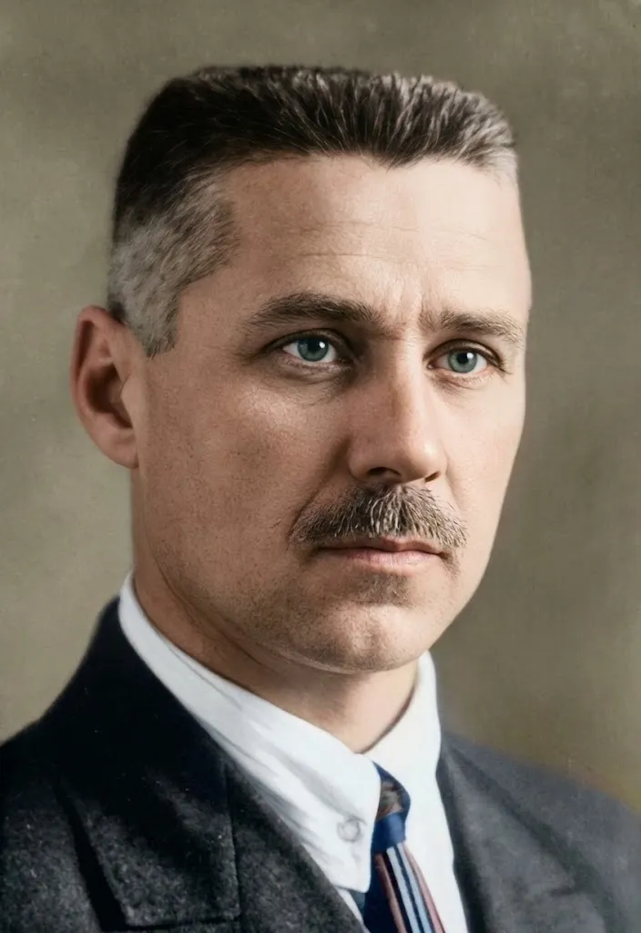
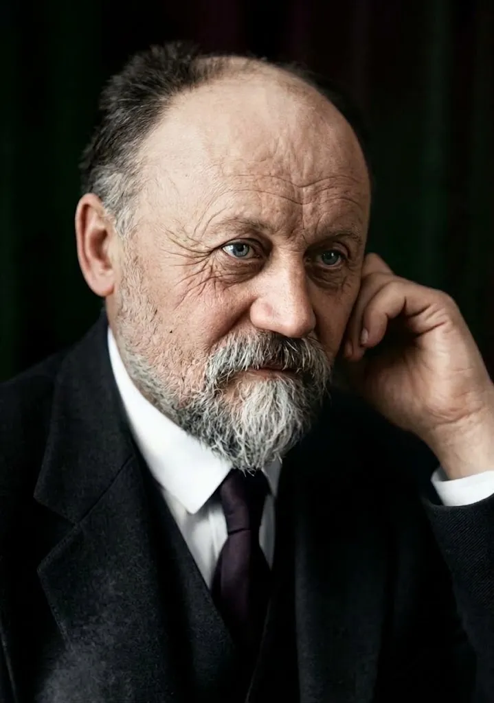
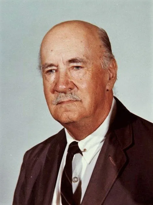
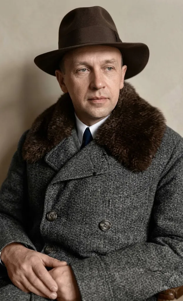
1877–1937
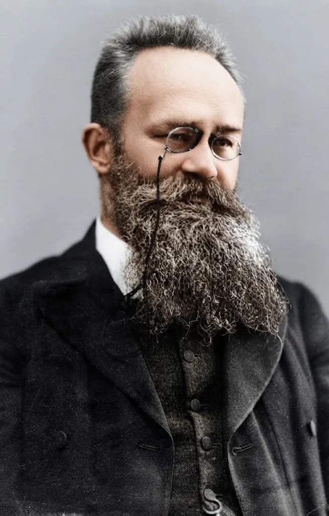
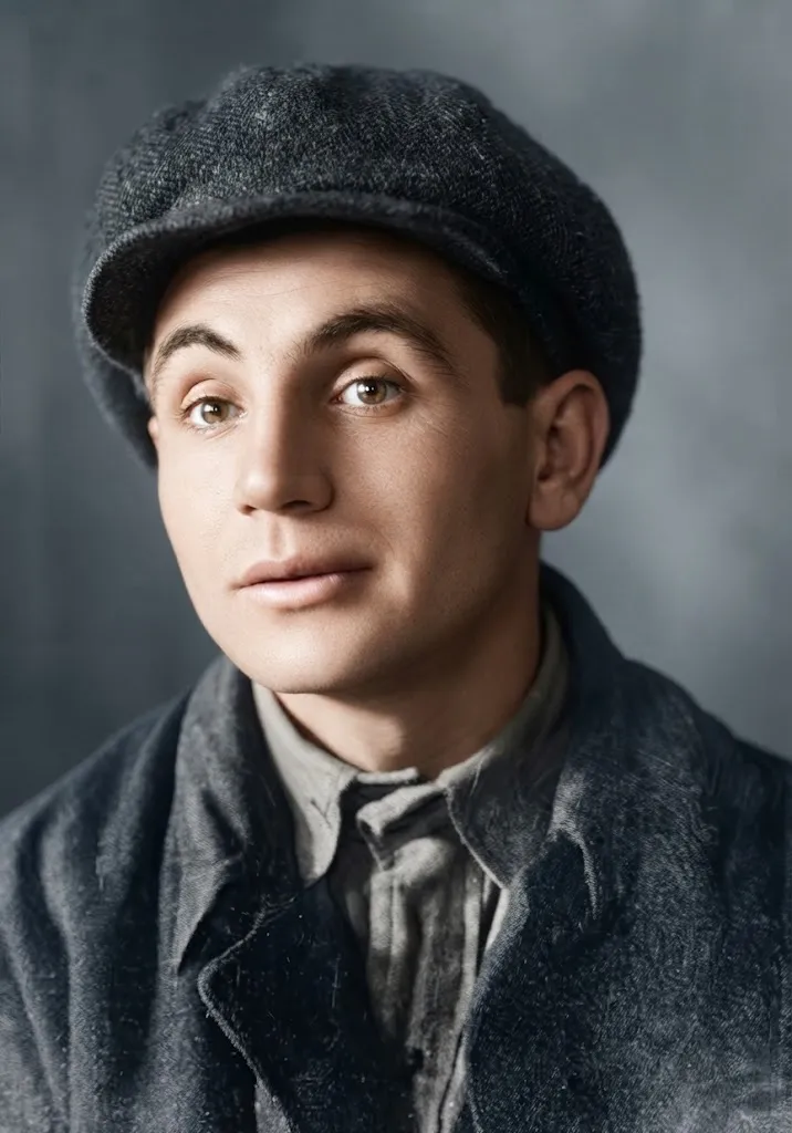
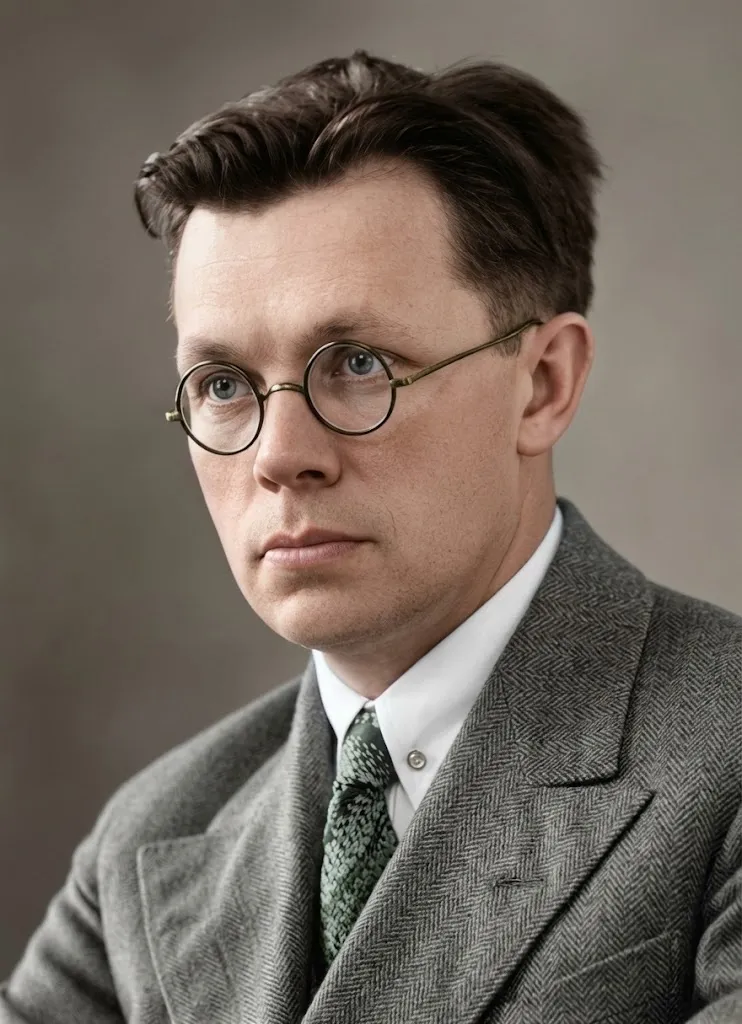
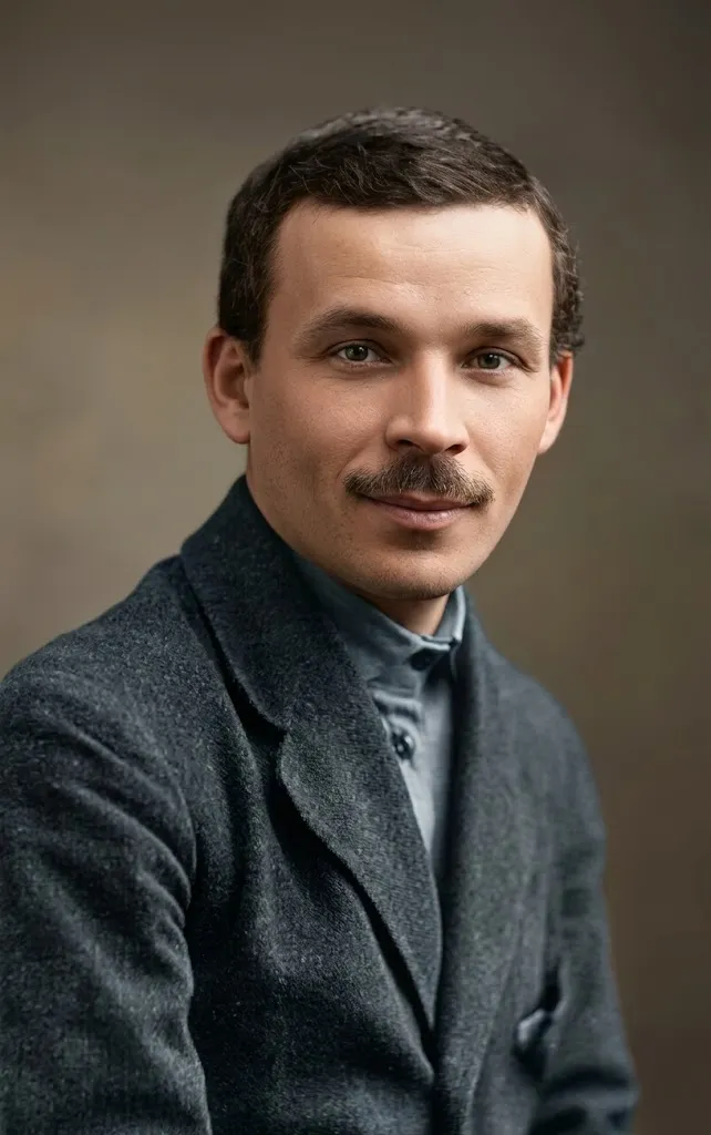
Stepan Rudnytskyi
Founder of Ukrainian geography
“We are Ukrainians; the land we live in is called Ukraine,” he wrote, when two empires had split Ukrainian lands. Stepan Rudnytskyi wrote the first full geography of those lands, drew the first ethnographic map and argued Ukraine could be an independent state. He was shot at Sandarmokh in 1937.
Key accomplishments
- A Short Geography of Ukraine (1910, 1914), the first thorough geography of all Ukrainian lands
- The first ethnographic map of Ukraine and the first physical wall maps of Ukraine (1918)
- The book Ukraina, Land und Volk (1916), in English as Ukraine: The Land and Its People (1918)
- The first Ukrainian geographical dictionary, an Outline of Geographical Terminology (1908)
- Co-founder of the Ukrainian Free University in Vienna (later Prague); founder of the Ukrainian Research Institute of Geography and Cartography in Kharkiv (1927); member of the All-Ukrainian Academy of Sciences (1929)
A land called Ukraine
“We are Ukrainians; the land we live in is called Ukraine, whether it is under the Russian state, the Austrian or Hungary.” That is how Stepan Rudnytskyi explained to readers what his Short Geography of Ukraine was about. He is called the founder of Ukrainian geography. He was born in 1877 in Peremyshl (now Przemyśl, Poland), the son of a geography and history teacher. At Lviv University he studied under Mykhailo Hrushevskyi, and later recalled: “I was one of his best students in history. But I gave myself entirely to geography.” He studied geography in Vienna and earned his doctorate in 1901.
Geography in Ukrainian
Rudnytskyi taught at secondary schools in Ternopil and Lviv, and from 1908 he lectured at Lviv University: on geography, and in Ukrainian. That same year he published the first Ukrainian geographical dictionary. In 1910 and 1914 the two volumes of his Short Geography of Ukraine came out, the first thorough work on all Ukrainian lands. Imperial borders divided those lands; Rudnytskyi showed them as one country with one people.
A map for a new state
During the First World War Rudnytskyi lived in Vienna. In 1915, under the pen name Sh. Levenko, he published the article “Why Do We Want an Independent Ukraine?”: there are 40 million Ukrainians, he wrote, enough to found a great state. His book on Ukraine, its land and its people, came out in German (1916) and in 1918 in English, so the world could read about Ukraine from a Ukrainian. Rudnytskyi drew the first ethnographic map of Ukraine and the first physical wall maps of Ukraine (1918). In 1918–1919 he advised the government of the Western Ukrainian People’s Republic (ZUNR) on economics and political geography.
Exile and return
In the early 1920s Rudnytskyi lived in Vienna and then in Prague. He was one of the founders of the Ukrainian Free University and the first dean of its faculty of philosophy. In 1926 he accepted an invitation to Soviet Ukraine and moved to Kharkiv. There, in 1927, the Ukrainian Research Institute of Geography and Cartography was set up under his leadership, and in 1929 he was elected to the All-Ukrainian Academy of Sciences. But later he wrote: “I live in Kharkiv as if in a further exile.”
Solovky and Sandarmokh
In March 1933 Rudnytskyi was arrested, accused of counter-revolution, sabotage and spying, and sentenced to five years’ imprisonment. He was expelled from the Academy, and in 1935 he was sent to the Solovky prison camp. Even in prison he wrote scholarly books, but the manuscript of his Geonomy was taken away for checking, and its fate is still unknown. On 3 November 1937 Stepan Rudnytskyi was shot at Sandarmokh, in Karelia. In those same days Les Kurbas, Mykola Zerov, Mykola Kulish and many other Ukrainian intellectuals were killed there. In 1965, thanks to the efforts of geographers in Lviv, he was rehabilitated.
Why it matters today
Stepan Rudnytskyi gave Ukraine something it is hard to imagine a state without: its own map. He showed that lands split by imperial borders were one country with one people, and he explained it to Ukrainians and to the world in the language of science, not slogans. In 1915, when there was no Ukrainian state, he argued that there were enough Ukrainians to found one. Anyone who opens a map of Ukraine today is holding the work he began more than a hundred years ago.